Leo A. Geis, Principal at Idaho Airships, Inc. of Boise has been seated as a member of the United States Department of Commerce’s (USDOC) National Institute of Standards and Technology (NIST) Organizational Scientific Advisory Committees (OSAC) for Video and Imaging Technology and Analysis.
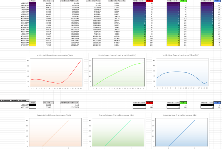
One of the most potent demonstrations of the problematic use of color exists in the discipline of thermography.
Science is of peculiar value in jurisprudence but there is no particularly elegant fitment between the two philosophies.
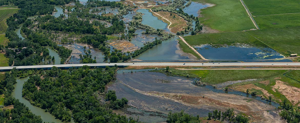
The baseline and responsive documentation-and immediate dissemination-of technical (aerial, hyperspectral, etc.) imagery of flooding is tremendously practical.
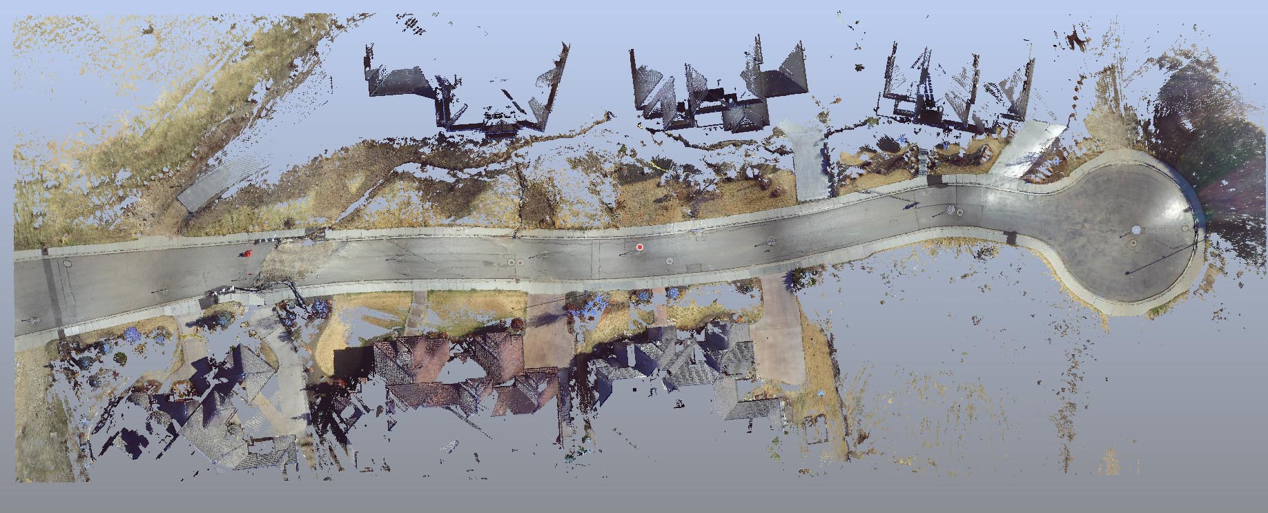
Forensic LiDAR and “engineering grade” or “survey grade” LiDAR (LASER Scanning) are very different things. Applications in which engineering and survey LiDAR conventions are manifestly deficient include litigation and its ADR cousins (mediation, arbitration, etc.).
It is a generally accepted principle to adjust the “exposure” of professional thermograms so that the bulk of the selected palette range is confined to features of interest in order to produce the finest representation of their thermal patterning.
Mapping metrologic data assets is frequently necessary, particularly with hyperspectral (other than visible band) imagery and spatial data sets such as LiDAR; the images simply aren’t accessible or recognizable by the general population using ordinary software.
The above aerial photograph is a panorama of the fire’s footprint showing its relationship to downtown Boise, Boise State University, Boise’s Warm Springs Golf Course, the Boise River and Barber Valley, and infrastructure such as the East Parkcenter Bridge.
